
Arikady · Kumbla · Kasaragod
Gettinghere
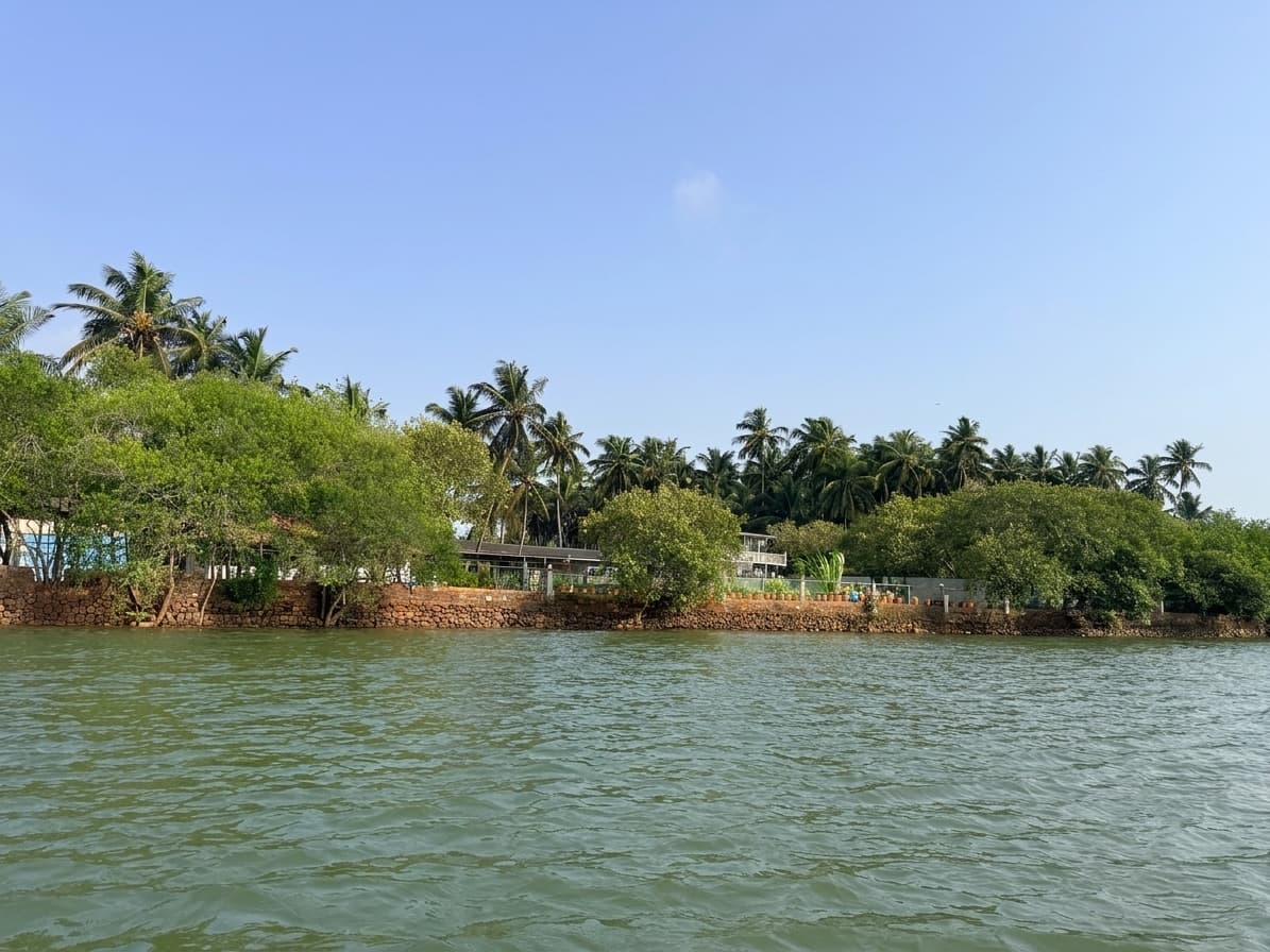
Kumbla is on NH 66 between Mangaluru and Kasaragod. Arikady sits off the highway on the estuary side, and trains on the Mangaluru–Kasaragod line stop at Kumbla, five minutes away.
Address and map
The address
Papam Koya NagarArikady, Kumbla
Kasaragod district, Kerala 671321
അരികാടി, കുമ്പള, കാസർകോട്, കേരളം
ಅರಿಕಾಡಿ, ಕುಂಬಳೆ, ಕಾಸರಗೋಡು, ಕೇರಳ
+91 79076 81818Measured on a map
How far it actually is
Checked against a map, not guessed. Where a figure has not been verified gate to gate it says so.
| Place | Distance | By road |
|---|---|---|
| Kumbla railway stationTrains on the Mangaluru–Kasaragod line stop here. | 1.5 km | 5 minutes |
| Kasaragod town | 12 km | to confirm NEEDS CONFIRMATION: Kasaragod town — driving time, measured at a normal weekday hour |
| Bekal Fort | 26 km | to confirm NEEDS CONFIRMATION: Bekal Fort — driving time |
| Mangaluru city | 40 km | to confirm NEEDS CONFIRMATION: Mangaluru city — driving time |
| Mangaluru airport (IXE)The nearest airport. | 49 km | About 1 hour |
| Kannur | to confirm km | to confirm NEEDS CONFIRMATION: Kannur — driving time |
| Kannur airport (CNN) | to confirm km | to confirm NEEDS CONFIRMATION: Kannur airport — driving time |
Half a day out
Worth the drive
Bekal Fort
The largest fort in Kerala, built in laterite, on the sea.
26 km away
Arikady Fort
A small ruined fort in the village itself.
to confirm NEEDS CONFIRMATION: Arikady Fort — walking or driving distance from the resort gate away
Kumbla estuary
Kayaking on flat water. KPS runs the district's first kayaking centre here.
to confirm NEEDS CONFIRMATION: kayaking centre — distance from the resort gate, if it is not on the property away
to confirm NEEDS CONFIRMATION: a fourth half-day trip the resort actually recommends — temple, beach or plantation
to confirm NEEDS CONFIRMATION: one plain sentence about it
to confirm NEEDS CONFIRMATION: distance away